Location:
Arthur’s Pass National Park. Drive over Mt White bridge and follow the signs to Hawdon valley. Park in the designated area.
The Track:
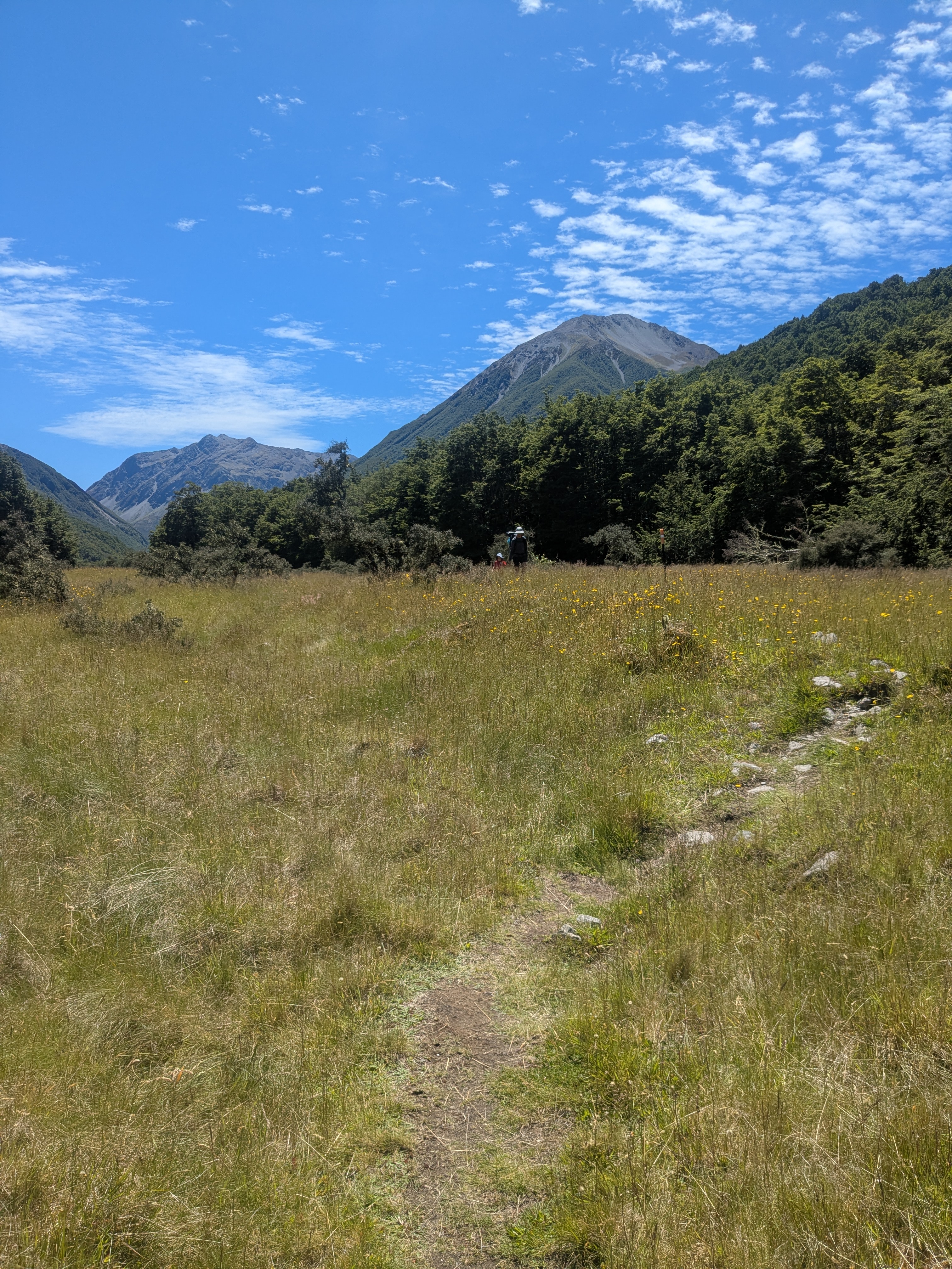
10km (2-3hr adult walk time) along mostly 4wd track or open river bed with the occasional sidle into the bush. Last 3km are rougher for travel than the rest and so were slower (from the junction with East Hawdon). Miss 4 walked in over 5 hours but the last 3km took 2 of those hours.
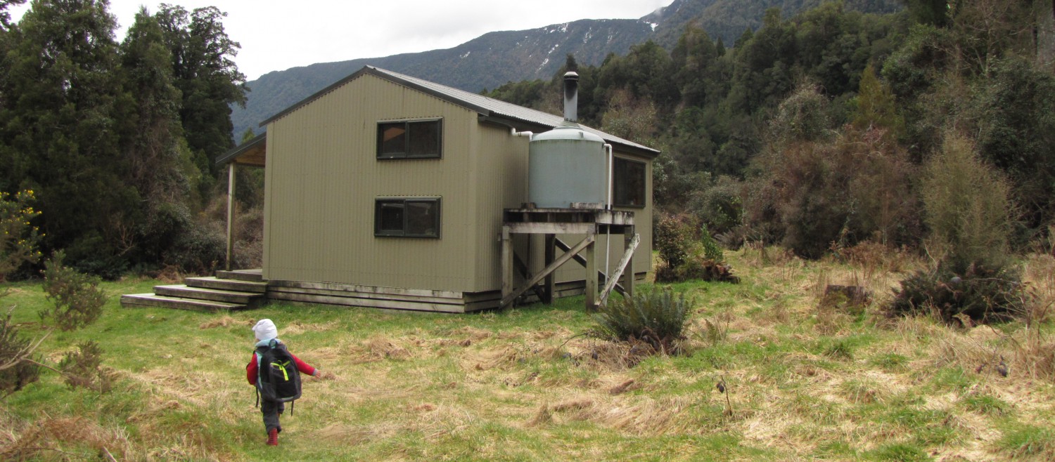
The Hut:
20 bunk services hut. Very warm, alpine bunks. Very popular. We went pre NY and when we arrived the hut was at capacity and another 10 people arrived after us.
We chose to camp. THERE IS NO REASONABLE CAMPING BY THE HUT (or upstream), but there was a very nice spot by the river about half a km down stream. Best camping would have been at the old hut site at kilometre 9.
Good to know:
Doesn’t take a lot of rain to make this river impassable due to its steep gradient. Even at low flow Miss 4 found it was mid thigh and needed to be carried. Mr 6 was fine. We crossed it probably a dozen times each way, there are no bridges.
Hut can be extremely busy as noted above.
Visited: Dec 2024 by the van Gelder-Horgan family.